Campus Maps
What are Campus Maps?
Campus maps display the grounds of schools, hospitals, manufacturing facilities, apartment or condo complexes, office parks, and more. They help students, visitors, employees, or residents navigate the campus. Typically used for wayfinding and severe weather planning, campus maps should be highly legible and easily transferable from digital to print.
Who Will Use a Campus Map?
Campus maps are most often used for two things, wayfinding and security planning. Campus wayfinding maps and directories are placed at key locations and help guide viewers to their destination. They are especially useful in multi-building facilities or large campuses. Campus security maps are not used by the public, but instead help safety personnel and emergency management staff plan for and respond to emergencies.
Applicable Industries
While campus maps are commonly used by schools and universities, they are also found in large, complex facilities like hospitals, airports, production plants, business parks, campgrounds, and apartment complexes. Any large campus or multi-building facility should have strategically placed signs and maps so viewers can quickly and efficiently find their way to their destination.
Campus Map Features
No two campus maps will be identical. Map features will vary depending on the type of building, building population, landmark locations, and services. That’s why using a free campus map maker online won’t give you the level of detail needed to help someone find their next class or guide first responders to the right location. Common campus map features include:
- Easy to Understand Legend
- Labeled Buildings and Streets
- First Aid Location
- Security Location
- Restaurants and Eateries
- Campus Amenities
- Event Venues
- Print and Website Versions
Campus Map Design
At Building Maps, we have designed campus maps for a variety of campuses, from hospitals to schools and everything in between. Our team of experienced designers and safety experts work closely with you to ensure your map is customized to your campus and objectives. Not only will our team create these maps, but we will work with you to ensure they are maintained with up-to-date information. Campus maps come in various styles and should be available in print or online.
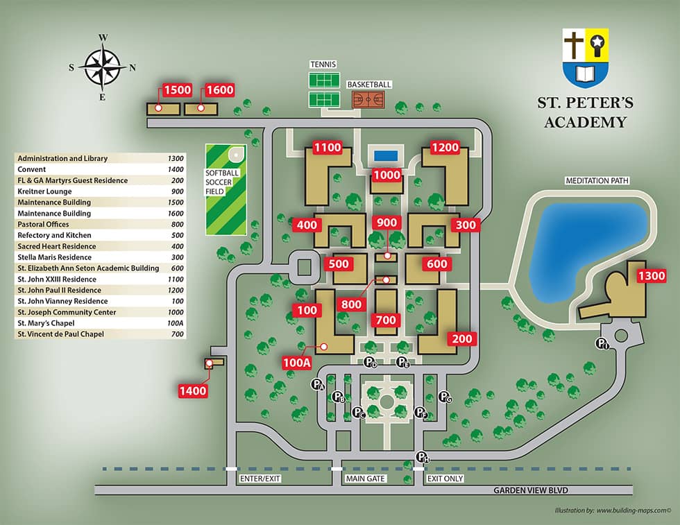
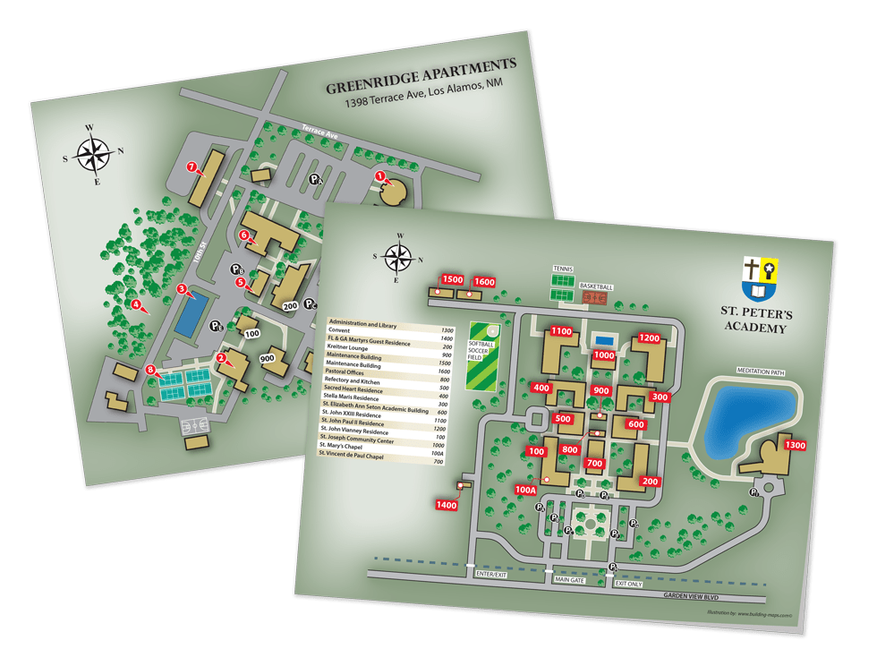
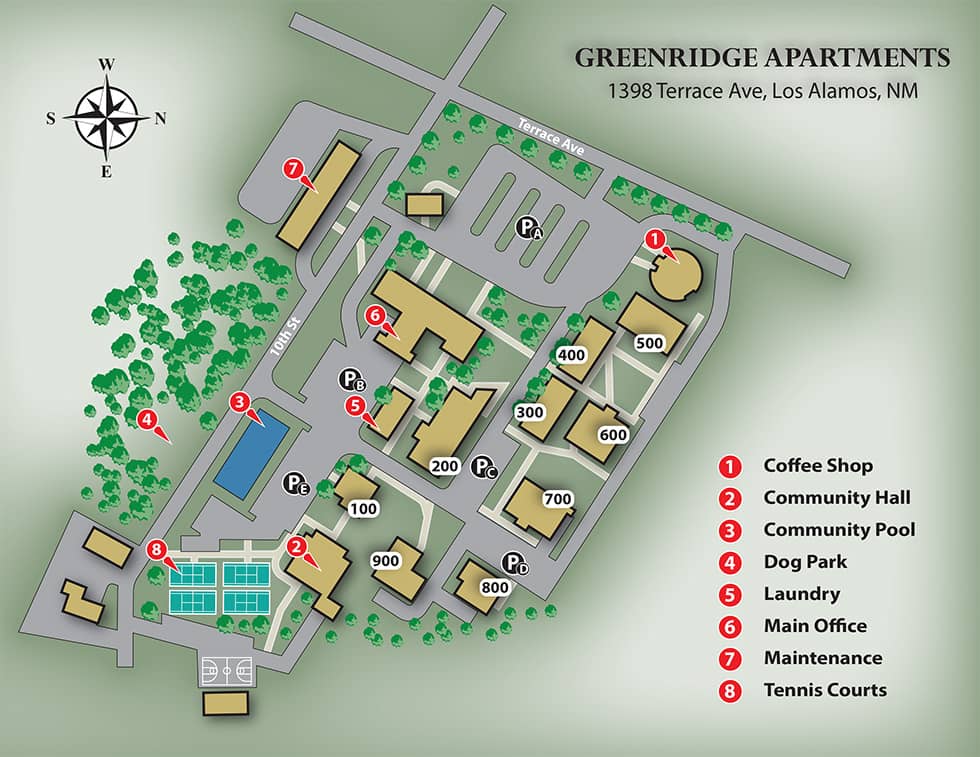
Full Illustration Map
Colorful and detailed, full illustration maps are ideal for websites, brochures, and flyers.
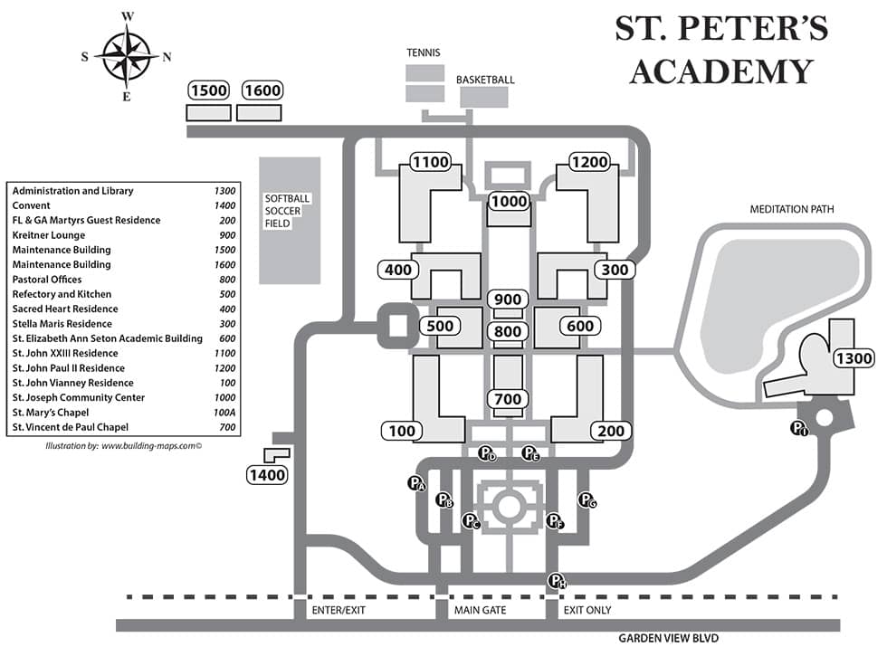
Basic Map
Simple and economical, basic maps use less ink when printed in large quantities.
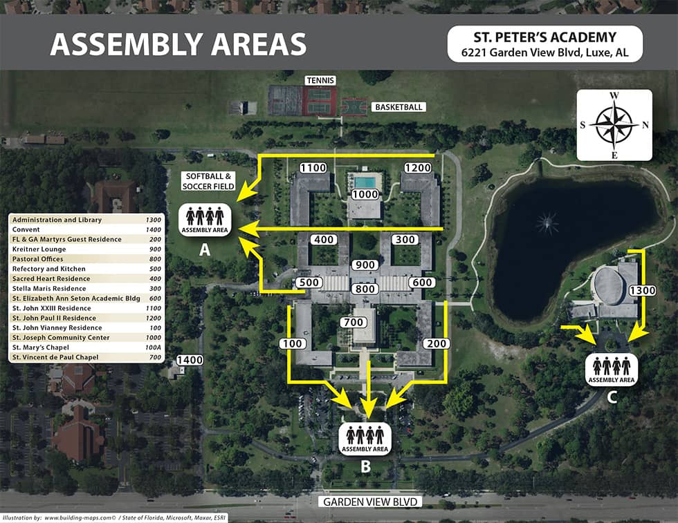
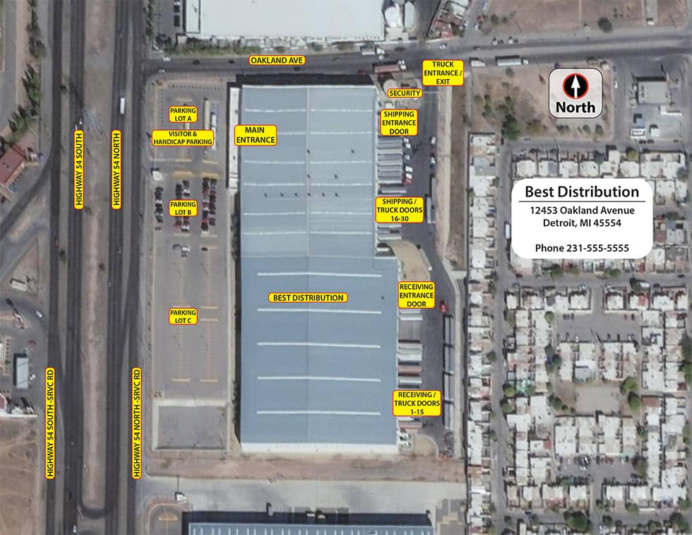
Satellite Image Map
Showing specific landscape details, satellite image maps are economical and can be created quickly.
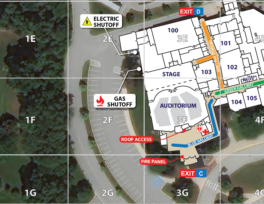
Critical Incident Map
A satellite image with an overlayed, numbered grid to help first responders coordinate emergency responses.

