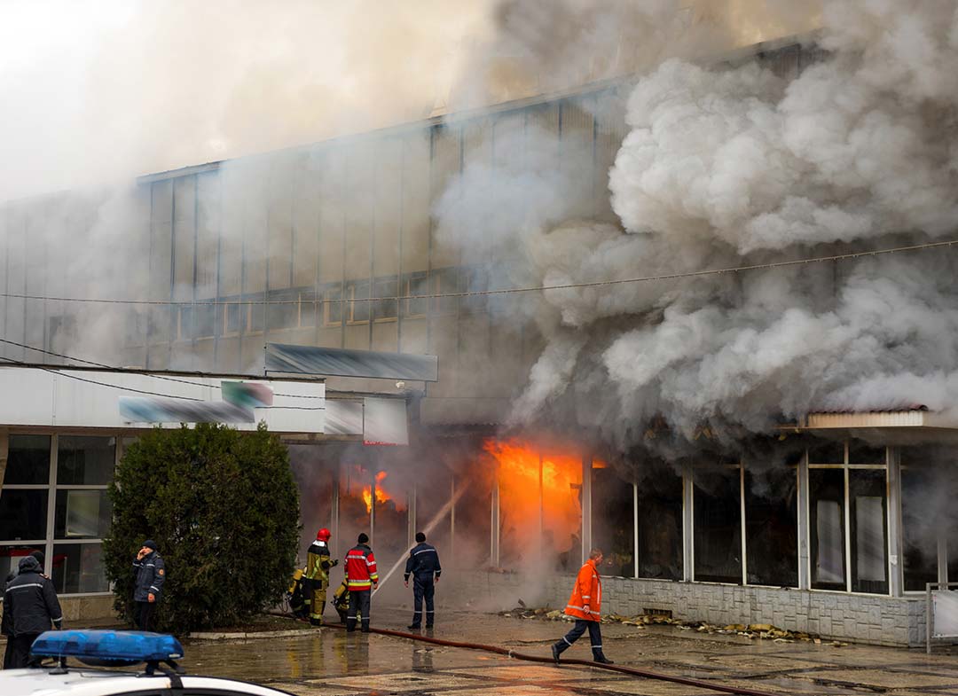
When fire, accident or disaster strikes, an accurate emergency evacuation map is critical to getting people out of your building to safety. But another group will be headed in the opposite direction — directly toward the hazard — and it’s just as important that they find their way safely.
Firefighters, EMTs and police put their lives on the line in emergencies. When every second counts, these first responders can’t afford a wrong turn or dead end. They rely on facility emergency maps show them where to go, where the hazards are, how to access emergency resources, and where evacuees are assembled.
Helping first responders perform their critical duties
We count on first responders to put out fires, resolve hazards, save lives, and treat the injured. It’s essential to support their work with well-designed building emergency action plans, including up-to-date emergency evacuation maps. These rescuers must understand where they are from the instant they enter a building. From there, they will look for such elements as:
- Entrances and exits
- Exit routes
- Shelter-in-place areas and accessibility accommodations
- Stairwells
- Emergency assets, such as fire extinguishers, hose reels, AEDs, eyewash stations
- Alarm panels and sprinkler valves
- Utility shutoffs
- Hazardous material storage
- External assembly areas
Knowing how to locate everything is essential to improving response times and providing the situational awareness first-responders need to perform their life-saving duties.
Depending on the nature of the emergency, each responding agency may require different information. For example, during an active-shooter threat, police will need to know all exit and entry points and how to methodically clear each room.
Firefighters will need to know the location of utility shutoffs to prevent electrical hazards or to stop ventilation systems from feeding a fire or distributing hazardous vapors. They also will use the alarm panel to locate the source of the emergency. Accessing fire hose reels will allow them to extend their reach inside the building. And they must know the location of hazardous materials that react with water.
Medical first-responders will need to know how to bring in essential gear such as AEDs and stretchers. They also will need to know the nature of any hazardous material risk.
These are just a few of the considerations we take into account at Building Maps, where every illustrator and project manager is trained in life safety code and fire code. The functional, accurate and compliant maps we create are essential in an emergency — and a critical component of pre-incident planning that includes coordinating with local first-response agencies.
The best time to prepare: before an emergency
While first responders will use building maps when they arrive on site, OSHA also recommends making sure local agencies are prepared before the emergency, so they are ready to respond as outlined in your plan.
For example:
- Have members of the local fire department conduct a walk-through of your workplace so they are familiar with the layout and any potential hazards.
- Establish a relationship with a local ambulance service so transportation is readily available for emergencies.
- Arrange with nearby medical clinics or other facilities to handle emergency cases and to provide medical and first-aid services to employees.
Another step in preparation: Share up-to-date facility emergency maps with local agencies and emergency operation centers. And consider incorporating modern tools, like digital floor plans, to ensure accuracy and better partnership with emergency services.
When feasible, evacuation drills should be coordinated with local fire officials and emergency response departments. This is especially important when the activation of a fire alarm automatically notifies local authorities.
Expertise for a complex responsibility
Making effective evacuation maps for building emergency action plans takes a tremendous amount of experience and expertise. This involves more than mapmaking and wayfinding. It includes compliance with all the relevant codes, governing bodies, and emergency response best practices. And it includes making sure first-responders are equipped with the information they need to do their jobs.
At Building Maps, our illustration teams are trained in codes and standards from OSHA, ICC, and NFPA. We know how to create the right map for every situation, every size and type of building, and every location. And we are ready to help you get started today.
Our facility emergency maps are made to guide people toward safety — and to help the people who run toward danger.
Contact us today by phone or email. Or use this simple form to tell us a little bit about your project to request a quick and free quote.