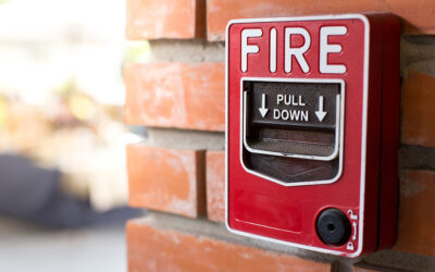
Building Maps creates and maintains fire evacuation maps for schools, businesses and organizations across the country. These maps help school complete their Emergency Action Plans (EAPs) with the highest quality and most clarity. This ensures that these districts are prepared if their EAPs are put to the test. In addition to NFPA and ICC code compliance for EAPs, schools also traditionally post their safety maps on the doors of each classroom. This has allowed emergency exit information to be easily accessible to all occupants.
Now, mobile apps are taking the next step in maximizing school safety for the new generation. Companies like CrisisGo, Ruvna and Front Row are leading the charge in using technology to increase campus safety for a generation of kids that are more online than ever before.
If your district is looking into or already has a mobile school safety app in your district, our services can maximize its impact. Many of these apps require floor plans of your schools in order to display safety information. Our illustrators can take your blueprints or existing maps and turn them into clean, compatible app-friendly floor plans.
If you’re looking to maximize your district’s school safety efforts, the Building Maps team can help!
For more information: visit our website, contact us or request a quote.