
by Tony Jones | Jun 23, 2026 | Building Maps
An emergency evacuation plan usually starts with a building blueprint. That will be accurate when a building is first constructed — but many plans become outdated. Additions, renovations, partitions, and even relocated fire extinguishers are just some of the changes...
by Tony Jones | May 5, 2026 | Building Maps
Safe escape from fires and other hazards starts with an accurate building evacuation map. The next step? Making sure everyone in your building knows how to calmly follow these fire escape maps. And the key to that is practice, practice, practice. That means the good...

by Tony Jones | Apr 3, 2026 | Building Maps
Once a tornado warning is issued, anyone in its path has 10 or 15 minutes to take cover. Winds can reach 300 mph, tossing cars into the air, leveling buildings, and turning debris into deadly projectiles. Everything happens so fast, it will test any action plan for...

by Tony Jones | Mar 11, 2026 | Building Maps
You want to protect the safety of people using your building, so you’ve done everything right. You checked and complied with local codes. You have an OSHA emergency action plan. And you have accurate, up-to-date facility emergency maps. What you do with those maps...

by Tony Jones | Feb 4, 2026 | Building Maps
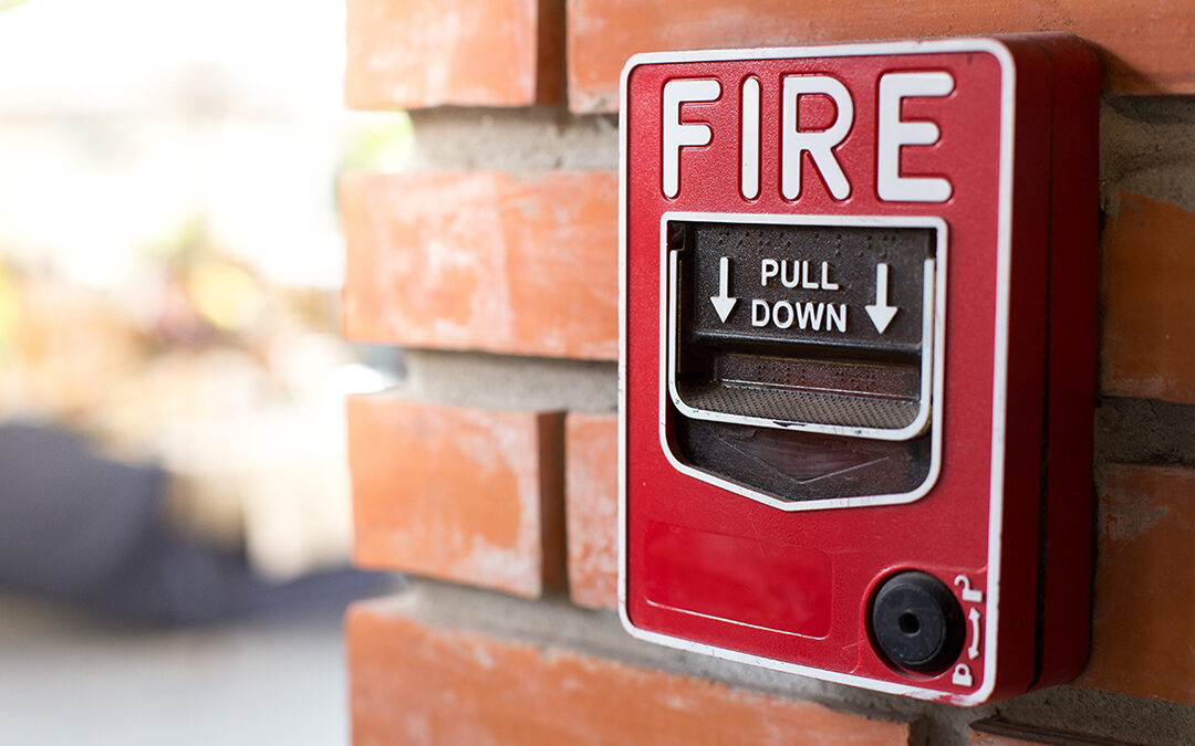
Fire evacuation maps are critical safety features for any facility. An accurate, up-to-date fire exit map protects people and prevents liability in schools, manufacturing, healthcare, offices, and apartments and condos. But just as all buildings are not made the same,...
by Tony Jones | Jan 7, 2026 | Building Maps
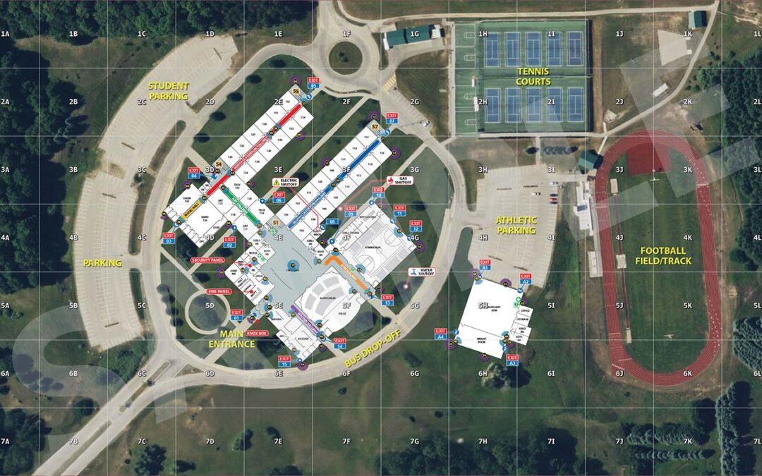
From the moment an emergency occurs, every second counts. In an effort to locate, understand, and manage critical incidents, first responders rely on accurate and consistent information presented in Critical Incident Maps. These tools, also known as CIMs, provide...

Recent Comments