
by Tony Jones | Feb 22, 2022 | Building Maps
When it comes to safety, it’s always best to plan ahead. Fire evacuation maps are crucial in this preparation as they depict the primary and secondary egress routes out of buildings. But, knowing where an exit route is located does not guarantee a successful...
by Tony Jones | Jan 21, 2022 | Building Maps
A new year has arrived and with it comes the need to review your emergency planning and update your Emergency Operations Plan. Why Update Your EOP? An Emergency Operations Plan (EOP), also called an Emergency Action Plan (EAP), documents the structures and processes...

by Tony Jones | Dec 20, 2021 | Building Maps
Maps are valuable tools for illustrating where to go and what to do in an emergency. School maps like evacuation maps or campus maps help with pre-incident planning, during an event, and post-event. Reunification maps, in particular, are used after an event to reunite...

by Tony Jones | Nov 22, 2021 | Building Maps
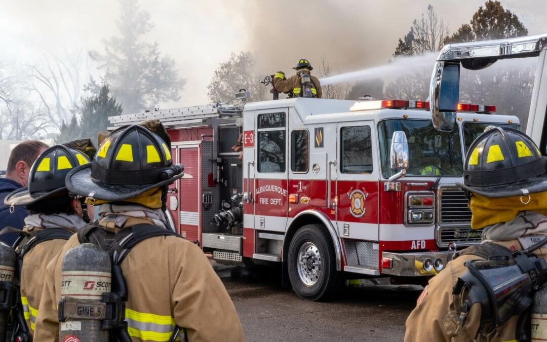
Fire evacuation maps and evacuation plans may sound similar, but they have some key differences. Let’s explore those differences and how each is used for emergency planning. What is a Fire Evacuation Map? A fire evacuation map (sometimes called a diagram) is a...

by Tony Jones | Aug 2, 2021 | Building Maps
School Building Catches Fire in Maine On an early morning in July, Dr. Levesque Elementary School in Frenchville, Maine broke out into flames according to a report by WMTW News and local fire officials. The “White Wing,” which for all intensive purposes...
by Tony Jones | May 31, 2021 | Building Maps
Littleton Manufacturing Plant Catches Fire Late morning on June 9, 2021, a heavy equipment manufacturer in Littleton, New Hampshire caught fire in the midst of the work-day. The 70,000 square foot facility was fully staffed and occupied at the time of the fire....

Recent Comments