
by Tony Jones | Dec 24, 2020 | Building Maps
What is Pre-Incident Planning? The NFPA defines pre-incident planning as “a document developed by gathering general and detailed data that is used by responding personnel in effectively managing emergencies for the protection of occupants, responding personnel,...

by Tony Jones | Dec 9, 2020 | Building Maps
What is Reverse Evacuation? To put it simply, reverse evacuation plans are put in place for situations when it is safer inside the building than outside of it. Reverse evacuation aims to move all students and staff who are outside of the building into a designated...
by Tony Jones | Sep 17, 2020 | Building Maps
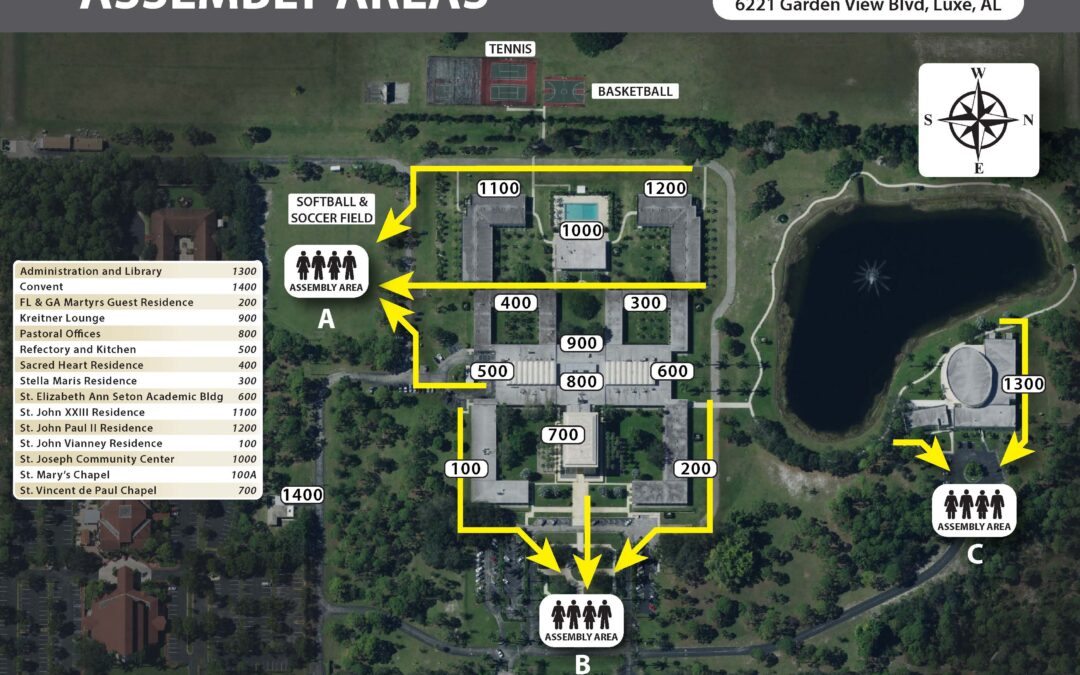
What is an Evacuation Assembly Area? An evacuation assembly area is a designated area that is distanced from the building for occupants to meet in the event of an emergency such as a fire or an active shooter. Assembly areas ensure that all occupants are both safe and...
by Tony Jones | Sep 8, 2020 | Building Maps
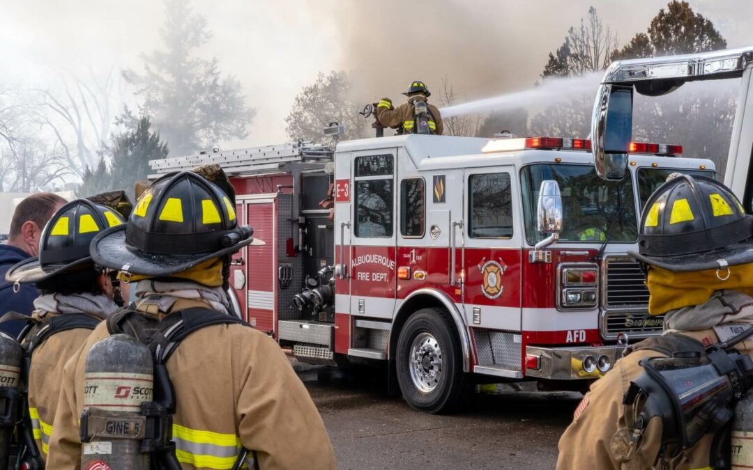
Building Fire at School Admin Facility A school administration building caught fire on Sunday evening at Winnsboro ISD in East Texas. According to the Longview News-Journal, a student was passing by late that night and saw flames coming from the top of the building....

by Tony Jones | Jul 23, 2020 | Building Maps
What is a safety map? Safety maps are one of the most important components of a safe and compliant building that is crisis ready. They are created, documented and displayed to aid in emergency preparation and response. Documents such as fire evacuation maps, severe...

Recent Comments